Ready to build? Describe your app to Appaca
Start for freeHow to Build a Mapping Tool
Create a custom mapping and geolocation app to visualise data on maps, track assets, and plan routes.
Step-by-step guide
6 steps
- 1
Define what you want to map
Mapping apps vary widely: customer locations, asset locations, delivery routes, sales territories, or field team positions. Define your primary use case before building.
- 2
Build the mapping tool with Appaca
Prompt Appaca with "Build a mapping tool where I can add locations with addresses, see them on a map, and filter by category." Appaca builds the location-enabled app.
- 3
Add location records
Each record has an address or coordinates field. Appaca's map view plots these locations automatically.
- 4
Add category and filter fields
Colour-code map pins by category (customer type, asset status, territory). Filters let you show/hide categories on the map.
- 5
Link to related data
Map pins can link to full records: clicking a customer pin opens their CRM record, clicking an asset pin opens the asset detail.
- 6
Add route planning
For field teams, a route planning view orders stops by proximity to optimise travel time.
Ready to build?
Build your a Mapping Tool now
Describe your app to Appaca and get your first working version in minutes - no coding, no config, no templates.
What Appaca gives you out of the box
Your app comes fully equipped - no hosting, no external database, no extra setup required.
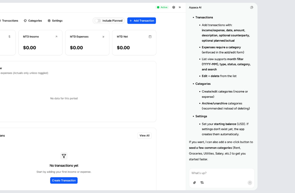
Build and update by chatting with AI
Describe changes in plain language and Appaca applies them instantly. Add new fields, change layouts, build automations - all without touching code.
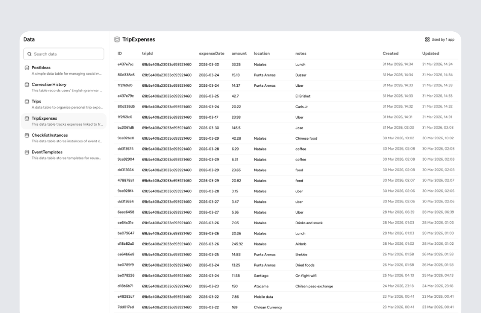
A real database, built in
Every app you build on Appaca gets its own secure database. Your data stays structured, backed up, and accessible - no spreadsheets or external tools needed.
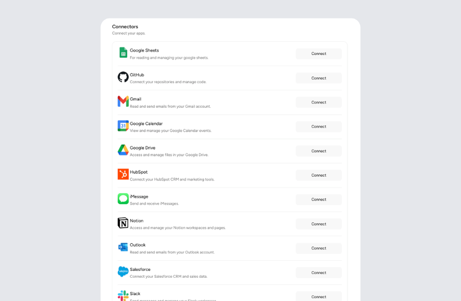
Connect to tools you already use
Link your app to Google Sheets, Slack, Airtable, or any service via API or webhook. Your Appaca app becomes part of your existing workflow.
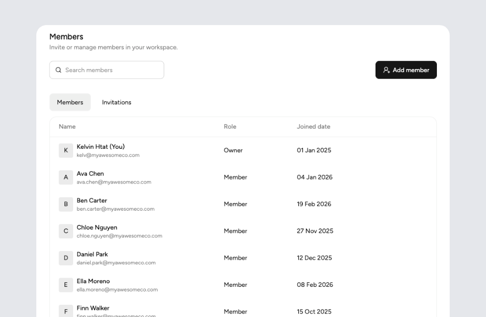
Share with your team instantly
Invite teammates, assign roles, and start using the app together. You control who sees what - individual apps or the whole workspace.
Frequently asked questions
Yes. Add an address field to any record and Appaca's map view geocodes and plots the locations automatically.
Yes. Map filters let you show only specific categories, statuses, or date ranges of locations.
Yes. Appaca maps work on mobile browsers so field teams can use them on phones and tablets.
Yes. Territory polygons can be drawn and assigned to sales regions or service areas.
Related guides
How to Build a Fleet Tracking System
Build a fleet management system to track vehicles, drivers, maintenance schedules, and compliance documentation.
How to Build a CRM Without Code
Learn how to build a custom CRM to manage contacts, deals, and follow-ups - no coding required.
How to Build an Asset Tracker
Create an asset management system to track equipment, devices, vehicles, and other physical assets across your organisation.