Create your own interactive maps app
Tell Appaca what locations or data you want to map and how users should explore it, and it creates a map experience that fits your use case without building on raw mapping APIs.
Trusted by incredible people at
What you can make with Appaca
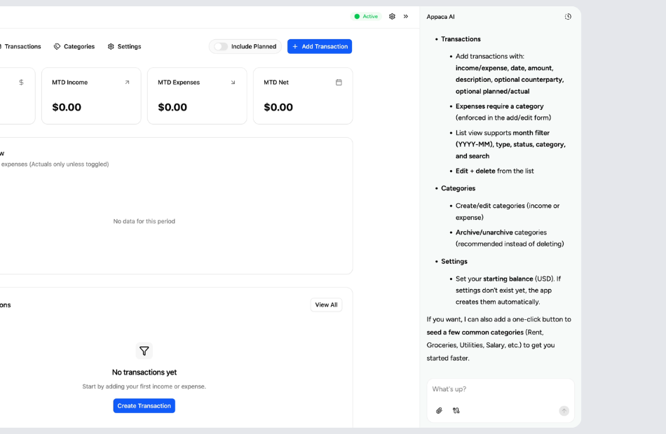
Appaca is a platform for personal software, so your maps app can match your data and audience instead of a generic pin-dropping widget.

Maps built around your data
Plot locations with custom markers, info popups, and color coding that reflect your specific dataset-whether that is stores, properties, events, or field operations.

Filters and layers for exploration
Let users filter markers by category, status, or attribute, and toggle data layers on and off so the map reveals exactly what they need at any moment.

A map experience you can keep updating
The map lives inside Appaca so you can add new data sources, change marker styles, and adjust filtering logic as your needs evolve.
Personal software for teams that think spatially
Start with the locations and data you want to visualize. Appaca creates the map app around your use case, and you can keep refining it as your data grows.
Start with your locations and use case
Tell Appaca what data you want on the map-store locations, delivery zones, customer sites, travel pins-and how users should interact with it.
Let Appaca shape the map interface
Describe the marker styles, popup content, filter options, and map layers you need. Appaca generates a fully interactive map experience from that description.
Share maps with your team or audience
Invite collaborators to update location data, or share read-only map views with clients and customers who need to explore your geographic information.
What is an interactive maps app?
An interactive maps app displays geographic data on a visual map that users can pan, zoom, and explore. Markers, popups, layers, and filtering let users discover location-based information intuitively. These apps are used for store locators, real estate listings, travel planning, delivery tracking, field operations, and any scenario where spatial context makes data more useful.
Key features to look for in an interactive maps app
Look for custom markers with rich popup content, filtering by category or attribute, clustering for dense data sets, and multiple map layers that can be toggled on and off. Search and geolocation features help users find relevant locations quickly. The best map apps also support data import, so you can update locations without manual pin placement.
Why build your own interactive maps app with Appaca
Embedding a map widget from Google or Mapbox gives you limited control over the experience. Dedicated mapping platforms are expensive and complex. Appaca lets you describe your data, marker design, and user interactions, then builds a complete maps app around that. As your locations change or you need new data layers, you refine the map without touching code or APIs.
Questions & answers
Anything with a geographic component-store locations, customer sites, delivery zones, travel itineraries, real estate listings, event venues, and more. Appaca builds the map around your specific data and use case.
Yes. Appaca can build search, category filters, and attribute-based filtering into your map so users find relevant locations without scrolling through every marker.
A Google Maps embed gives you basic pin display with limited customization. Appaca builds a full interactive map experience with custom markers, rich popups, data layers, and filtering-all tailored to your data and audience.
Absolutely. The map app lives inside Appaca where you can add, edit, and remove locations through the workspace interface. No API calls or code changes required.
Yes. Invite team members into the Appaca workspace to add locations, update details, and manage the map collaboratively.