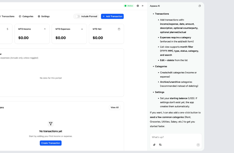
Create your own mapping tools
Tell Appaca what locations, data points, and views you need on a map, and it creates a mapping tool that fits your workflow without wrestling with GIS software.
Trusted by incredible people at
What you can make with Appaca
Appaca is a platform for personal software, so your mapping tool can match your locations and data overlays instead of a generic map widget.

Maps shaped to your locations and data
Build a mapping tool around your specific use case - customer locations, delivery zones, property sites, travel routes, or territory boundaries with the data layers that matter.

Pins, routes, and data layers in one tool
Combine location markers, route paths, area boundaries, and associated data like notes, photos, or status indicators in a single mapping view.

A mapping tool you can keep refining
The app lives inside Appaca, so you can start with a simple pin map and add data layers, filters, or route planning as your geographic needs grow.
Personal software for location-based work
Start with the locations you need to visualize. Appaca creates a mapping tool around your data, and you can keep refining it over time.
Start with what you need to see on a map
Tell Appaca whether you need customer locations, delivery routes, property sites, event venues, or any other geographic data - and what details to show for each point.
Let Appaca shape the tool around your workflow
You can describe what data each pin should display, how routes or zones should be defined, and what filtering or search capabilities you need. Appaca turns that into software.
Share it with your team in the field
Invite field reps, drivers, site managers, or clients into the same workspace so everyone can see locations, update status, and navigate from a shared map.
What are mapping tools?
Mapping tools let you visualize locations, routes, and geographic data on interactive maps. They range from simple pin maps that mark addresses to complex systems with data overlays, territory boundaries, and route optimization. Businesses use mapping tools to manage delivery zones, track field teams, plan site visits, and present location-based data to clients. Personal users build custom maps for travel planning, real estate research, or organizing places they visit regularly.
Key features to look for in mapping tools
Effective mapping tools support multiple pin types with custom icons or colors for different categories. Data popups on each pin let you attach notes, photos, status, or contact information to locations. Route visualization helps with delivery planning and territory management. Filtering and search make large datasets navigable. The ability to import location data from spreadsheets or databases saves hours of manual entry.
Why build your own mapping tools with Appaca
Professional GIS software is powerful but complex and expensive. Simple map widgets lack the data depth most real-world use cases require. With Appaca, you build a mapping tool that has exactly the features you need - whether that is a lightweight customer location map with status indicators, a multi-layer delivery zone planner, or an inspection map with attached notes and photos. You define the data, the visuals, and the interaction model, so the tool works for your geography and workflow.
Questions & answers
Common use cases include plotting customer or client locations, planning delivery or service routes, managing sales territories, tracking site inspections, mapping real estate properties, and organizing travel itineraries. Appaca lets you build a mapping tool around any location-based workflow with the specific data and views you need.
You can add locations manually by entering addresses, import them from a spreadsheet or database, or build a form that captures location data as part of a larger workflow. Appaca lets you set up the input method that works best for your use case.
Yes. Each pin can carry whatever data you define - contact information, inspection notes, photos, status labels, dates, or any other field relevant to your workflow. With Appaca, you create the data schema for each location so the map is as simple or detailed as you need.
Absolutely. Whether you need to plan delivery routes, field visit schedules, or multi-stop travel itineraries, a mapping tool can visualize routes and help you sequence stops efficiently. Appaca lets you design route views with the constraints and data that matter to your logistics.
Yes. Appaca workspaces support multiple users, so field reps, managers, and support staff can all view and update the same map. This keeps location data current and accessible to everyone who needs it, whether they are in the office or on the road.